Navigation Accuracy
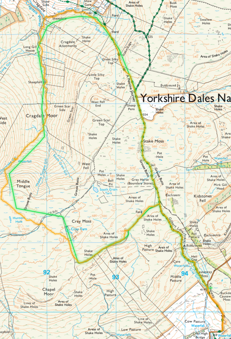 Map (c) Ordnance Survey 2024, obviously.
Green is the route I intended to take, orange where I actually went.
I got 'lost' near Cray Tarn because I miss-took the small stub of fence running NE for the much longer fench about 400m further north.